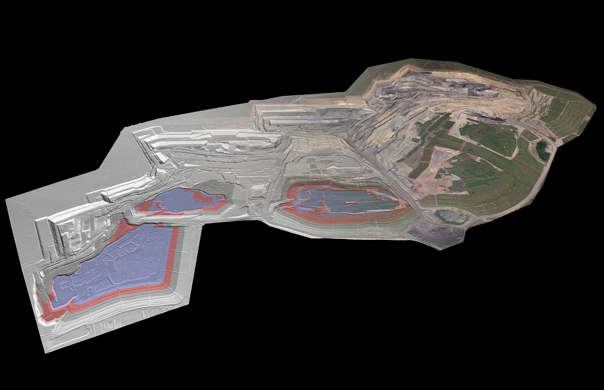
Maptek has launched its GeoSpatial Manager solution, which it said brings simplicity and efficiency to workflows, changing how mining and civil engineering projects handle data from laser scans and drones. GeoSpatial Manager effortlessly connects users with real-time updates for surveyed surfaces. Its smart visualisation tools and user-friendly interface redefine how you interact with as-built surfaces, enabling seamless collaboration and accessibility…
Read More
